
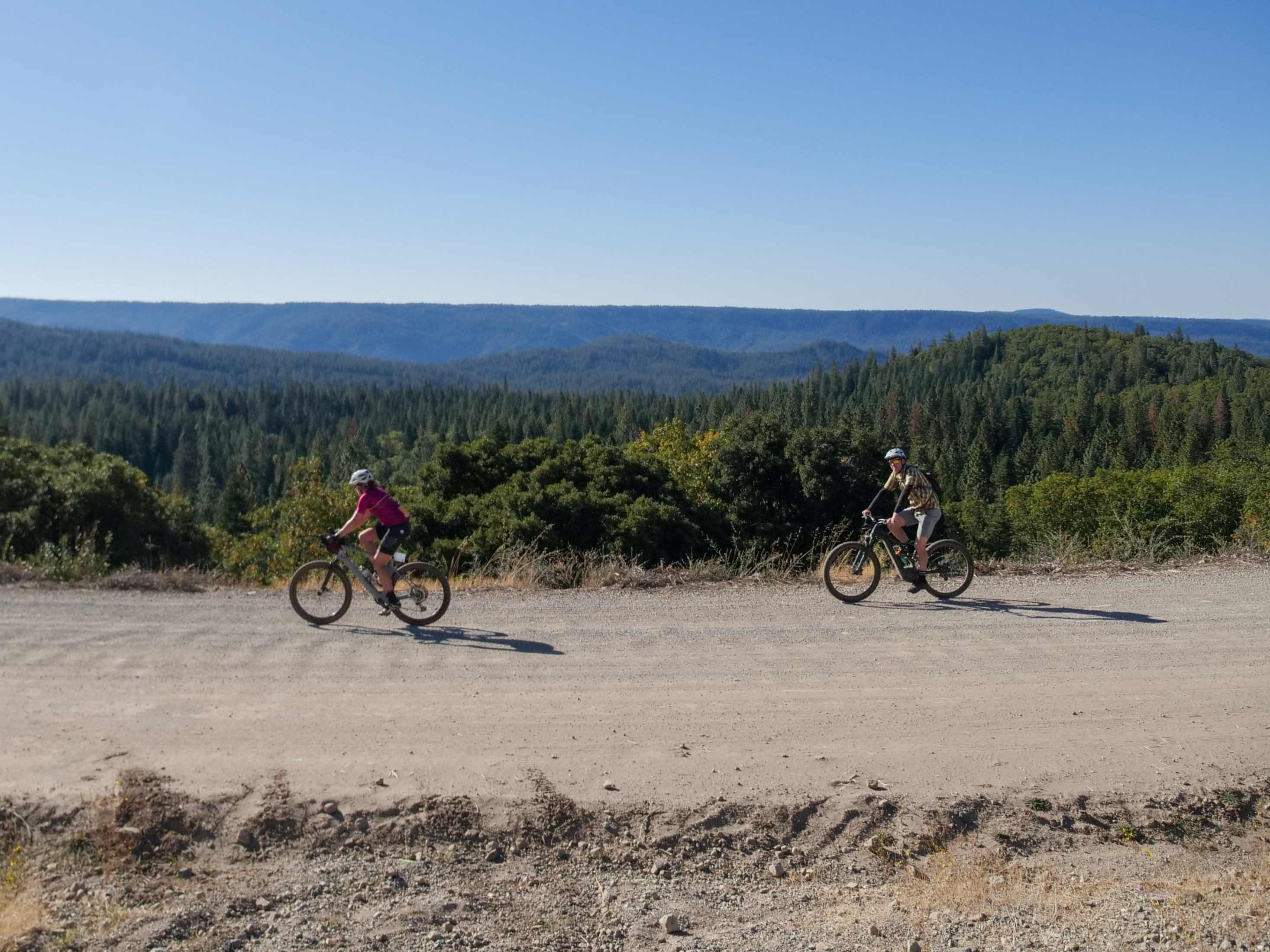
If you haven't read the Leg 1 Guide, we recommend starting there first. Leg 2 is where the Medium and Long Courses leave Lake City behind and venture deeper into Nevada County's historic mining country. The roads become quieter, the forests denser, and reminders of the Gold Rush appear around nearly every bend.
Leg Overview: Ridge top gravel, Gold Rush history, and High Sierra forests
Start Location: Lake City Aid Station
Back Bone Road: Riding the Ridge
Leaving the Lake City aid station, you'll begin climbing Back Bone Road. As the elevation ticks upward, take a look around. The road follows the crest of a long ridge with steep drainages dropping away on either side. Early miners often referred to these ridgelines as a "backbone" because they resembled the spine of an animal, making it likely that's how the road earned its name.
Originally built as part of the transportation network connecting mining communities like North Bloomfield, Graniteville, and Moores Flat, Back Bone Road once carried freight wagons, miners, and supplies. Today, it rewards riders with peaceful forest scenery and a chance to experience the same ridge tops that connected Nevada County's booming mining camps more than 150 years ago.
Bloody Run Creek
Just beyond the Walla Flat Road intersection, you'll cross Bloody Run Creek, which parallels the road for several miles. While no one knows exactly how the creek got its ominous name, its history is closely tied to one of California's greatest mining districts.
During the hydraulic mining era, this drainage echoed with the sound of water rushing through flumes to supply the massive hydraulic monitors at nearby Malakoff Diggins. Then, in 1883, disaster struck. The catastrophic failure of English Dam unleashed a wall of water estimated to be nearly 70 feet high through the Bloody Run drainage, destroying bridges, flumes, and mining infrastructure in one of the Sierra's most devastating engineering failures.
Today, the creek flows quietly beneath towering pines, making it hard to imagine the power that once surged through this canyon.
Moores Flat Aid Station: Courses Divide Again
The Moores Flat Aid Station marks another key decision point.
Medium Course riders turn right and begin descending toward North Bloomfield via North Bloomfield Graniteville Road.
Long Course riders continue straight, climbing farther into the High Sierra toward Graniteville before looping back later in the day.
Either way, you're riding through some of the most historically significant mining country in California.
Graniteville: Where Water Was Worth More Than Gold
For Long Course riders, Graniteville offers one of the most fascinating stories on the entire route.
Today it feels like a quiet mountain community, but during the Gold Rush it served as an engineering headquarters for one of the most ambitious water delivery systems ever built in the Sierra. Founded in 1850 as Eureka before being renamed Graniteville in 1878, the town became the hub for an intricate network of reservoirs, flumes, and more than 100 miles of ditches that captured Sierra snowmelt and delivered it to hydraulic mines across Nevada County.
In many ways, water became more valuable than gold itself. Without it, the giant hydraulic monitors at Malakoff Diggins couldn't operate. Even today, many of the reservoirs, roads, and recreation areas surrounding Graniteville owe their existence to this remarkable feat of Gold Rush engineering.
Relief Hill Road
After passing through Graniteville, Long Course riders continue briefly on North Bloomfield Graniteville Road before making a sharp right onto Gaston Road. Keep an eye out for another important turn onto Relief Hill Road. If you find yourself crossing the South Yuba River, you've gone too far.
The descent along Relief Hill Road offers a welcome change of pace as it winds through dense forest before reconnecting with the Medium Course near North Bloomfield.
This marks the end of Leg 2. Continue to Leg 3 to explore North Bloomfield, Malakoff Diggins, and the remarkable hydraulic mining history that shaped both the landscape and the Heart of Gold Gravel course.
There’s no better way to experience the Heart of Gold but by actually doing it. Click below to register for the upcoming race in October.