
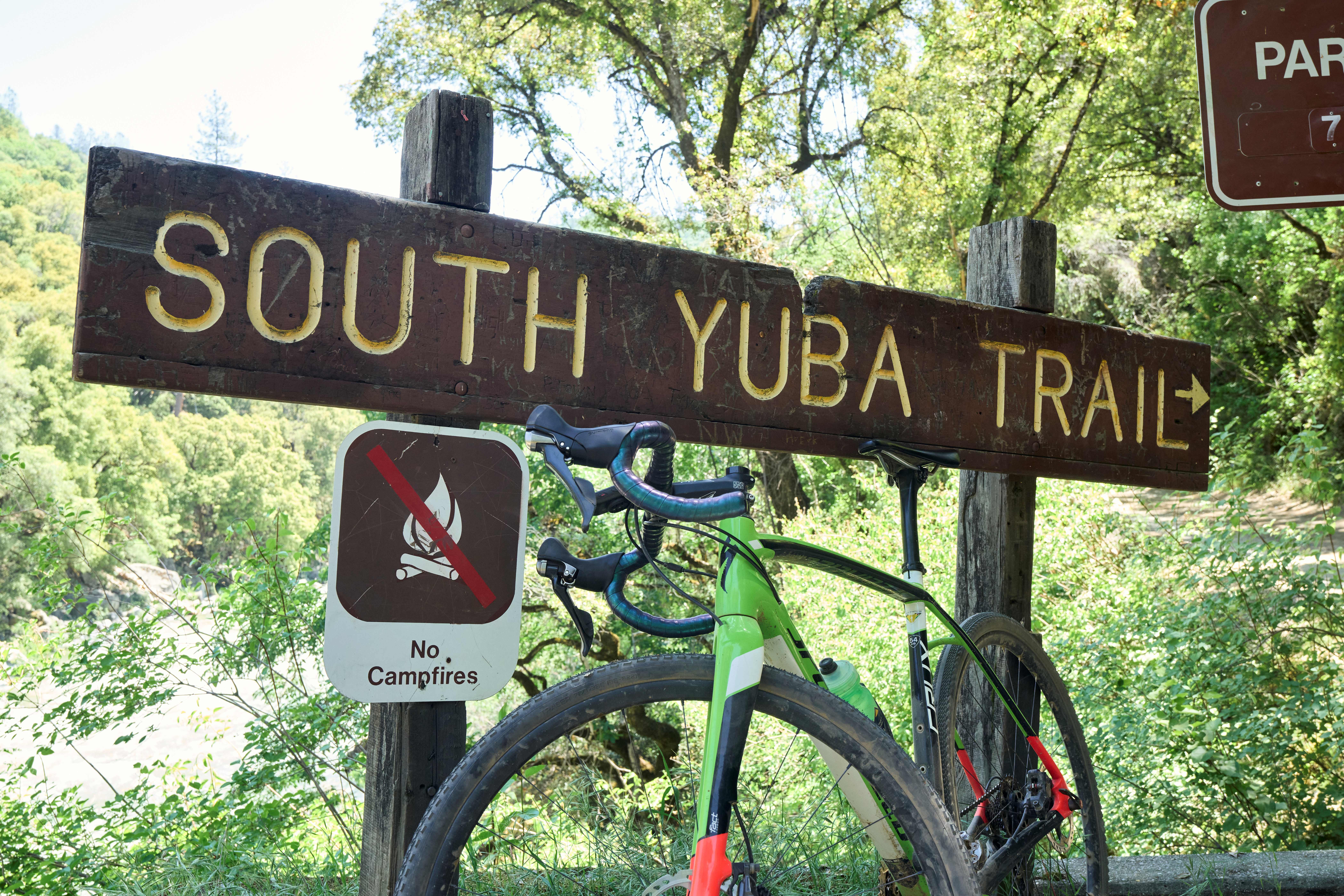
You're almost there! If you're just joining the adventure, we recommend starting with the Leg 1 Guide. Leg 4 brings all three courses back together for the final miles of the Heart of Gold Gravel. While the toughest climbs are behind you, there's still plenty of history and beautiful scenery to enjoy before rolling back into Nevada City.
Leg Overview: Historic crossings, quiet backroads, and the final push home
Start Location: North Columbia
North Columbia: A Mining Camp Reborn
As riders leave North Columbia, the course begins working its way back toward civilization, following roads that once connected some of the county's busiest mining camps.
Tyler Foote Crossing
Soon you'll find yourself back on Tyler Foote Crossing Road, one of Nevada County's classic cycling roads. Long before it became a favorite among gravel riders, this corridor served as an important transportation route linking mining communities throughout the San Juan Ridge.
The crossing itself is named after Tyler Foote, an early settler and businessman whose family played an important role in developing transportation routes through the region. Today, the peaceful forests and winding roads make it difficult to picture the freight wagons, stagecoaches, and pack trains that once traveled this same route carrying people, supplies, and gold.
Cherokee: A Town Ahead of Its Time
Passing through Cherokee, you'll ride through what was once one of the busiest communities on the San Juan Ridge. Named after a group of Cherokee miners who settled here in 1850, the town quickly grew into a bustling mining center complete with hotels, stores, saloons, and even its own newspaper.
Perhaps its most remarkable claim to fame came after the Gold Rush. In 1878, Cherokee became part of what is widely considered the world's first long distance telephone system. The Ridge Telephone Company connected mining communities across nearly 60 miles of rugged Sierra terrain, allowing operators to communicate almost instantly decades before telephones became commonplace elsewhere.
Today, little remains of that bustling community, but you're riding through a place that helped shape both California's mining history and early communications
Purdon Bridge
Continuing along Tyler Foote Crossing Road, be sure not to miss the sharp left turn onto Purdon Road. Before long, you'll cross the historic Purdon Bridge spanning the South Yuba River.
Take a moment to appreciate the cool air rising from the canyon and the crystal clear water below. The South Yuba has been the lifeblood of this region for centuries, first sustaining Native communities, then fueling the Gold Rush, and today providing recreation and habitat for countless species. It's one of those places that reminds you just how fortunate we are to experience Nevada County by bike.
The Final Climb Home
After one last opportunity to refuel, the course turns onto Rector Road before becoming Rock Creek Road for the final approach into Nevada City.
The roads gradually transition from quiet forests to familiar neighborhoods as Pioneer Park comes back into view. Whether you've completed the Short, Medium, or Long Course, you've experienced some of the finest gravel roads, richest Gold Rush history, and most beautiful scenery Nevada County has to offer.Cross the finish line, celebrate with your fellow riders, and take a moment to reflect on the journey. From Victorian streets and historic ghost towns to ridgeline gravel roads and rushing rivers, you've just experienced the very heart of California's Gold Country.
Congratulations on completing the Heart of Gold Gravel. We hope these leg guides helped you discover that this race is about far more than the miles. It's about riding through a landscape where history, adventure, and community continue to thrive.
There’s no better way to experience the Heart of Gold but by actually doing it. Click below to register for the upcoming race in October.